Introducing Airport Mapper
Airport mapping is the process of identifying key features within an airport to create something known as an Aerodrome Mapping Database (AMDB).
AMDB is used for airport planning and design, as well as flight management systems and air traffic control.
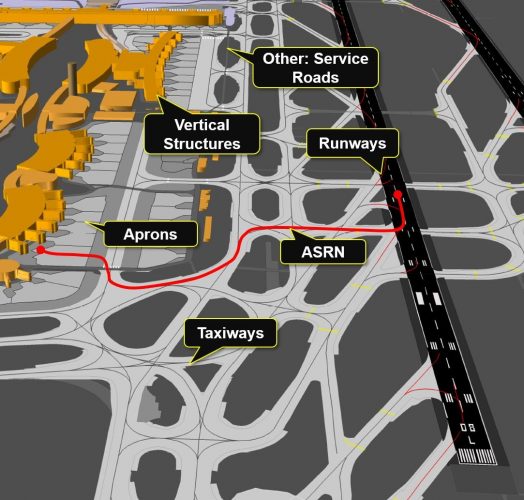
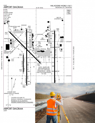
Geospatial airport mapping data is created and maintained by hundreds of people
Airport mapping is a manually intensive process which requires analysis of aeronautical information, satellite imagery, and textual data sources.
Automating airport mapping can save time and reduce cost within the aviation industry.
What does Airport Mapper do?

Features and Functionalities
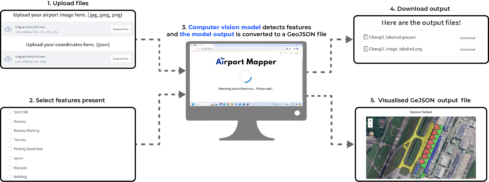
How it Works
Computer Vision Model
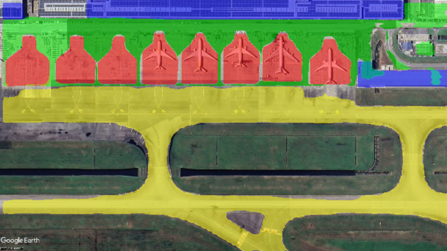
YOLOv8 AI model detects pixel-level boundaries of 7 high priority airport features: apron, blast pad, building, parking stand, runway, runway marking, and taxiway.
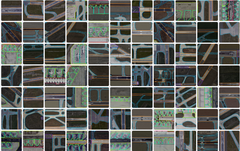
Data Preprocessing
Data augmentation methods such as rotation, flipping, and cropping are used to improve model robustness, hence we increased dataset size from 520 to 1354 images.
Model Evaluation
Performance metrics such as precision, F1 score, and confusion matrix were applied to evaluate our model training results.
Our final model can detect the features with over 90% accuracy!
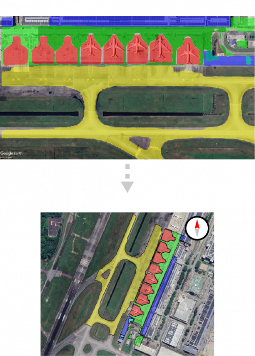
GeoJSON Generator
GeoJSON generator extracts contours of the detected airport features and converts the pixel-level coordinates that make up the contours to geographical coordinates consisting of latitudes and longitudes.
These coordinates are saved in a GeoJSON file and can be used to create AMDBs.
In collaboration with:

Acknowledgments:
We would like to thank the following people for their unwavering support throughout our project
Capstone mentors:
Dr. Francisco Benita
Dr. Thomas Schroepfer
Centre for Writing and Rhetoric (CWR) mentor:
Dr. Susan Wong
Industry mentors from Boeing:
Rahul Ashok
Ryan Chong
